
Need Help?
Drone Survey
FELSENGEO CONSULTANTS PVT. LTD. > Drone Survey
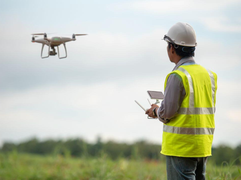
Drone Survey (Topographical Survey)
We use state-of-the-art drones to conduct high-resolution topographical surveys for infrastructure and geotechnical projects. Benefits include:
-
Accurate 3D terrain models
-
Reduced time & cost compared to manual surveys
-
Enhanced project planning and risk assessment
-
Suitable for inaccessible or high-risk terrains